The Land Parcel Identification System (LPIS) pilot project (Berat county) at the Agency for Agricultural and Rural Development (ARDA) was successfully concluded on December 10, 2025, in Tirana. The final meeting, attended by GEO-WB6, Joint Research Centre D.5 staff, EU Delegation and UNOPS representatives, reviewed the comprehensive results of the initiative, which captured approximately 35,000 hectares of agricultural land in a new LPIS dataset based on physical block reference parcel rules. Through continuous technical assistance and oversight from the GEO-WB6 team, which provided high-quality training in QGIS for parcel delineation, ARDA staff gained valuable operational experience in LPIS digitization methodology, team organization and quality control procedures. The team also examined cross-comparisons by quantifying differences, checking consistency with the digital cadastre and reviewing outputs from DigiFarm, DelAny, and Super Resolution. The meeting wrapped up with discussions on lessons learned and the path forward for LPIS implementation, representing an important step in enhancing Albania's agricultural land management capabilities essential for Chapter 11 (Agriculture and Rural Development) within the EU accession framework. The GEO-WB6 Centre was able to leverage its proven track record in regional capacity building throughout this successful initiative.
News
On November 4, 2025, the GEO-WB6 project team organized a stakeholder workshop during the ICOALS V conference. Representatives of the German Federal Ministry of Agriculture, Food and Regional Identity (BMLEH), German Embassy in Skopje, Agricultural University of Tirana (AUT), Food and Agriculture Organization of the United Nations (FAO), and Leibniz Institute of Agricultural Development in Transition Economies (IAMO) met to review the accomplished achievements and pave the way for future project activities. During the workshop, Prof. Fatbardh Sallaku, rector of AUT, announced that GEO-WB6 has recently been officially registered as an independent institution of the university, which is a crucial step towards ensuring the long-term sustainability of the centre. Moreover, we received very positive feedback on our work in the frame of the external project evaluation, and are confident that we can continue our activities in 2026.
From October 6 th to 31 th , 2025, IAMO welcomed the second cohort of guest researchers in Halle(Saale). Mrs. Tatjana Nikolić (University of Montenegro) worked on the topic „Impact of water-related variables on wildfire danger indices in Montenegro“ by analyzing weather station data and wildfire records from satellite images to create maps of fire risk for the entire country. Mr. Zlatko Chanevski (Ss. Cyril and Methodius University in Skopje) analyzed a 20-year time series of municipality-level crop-statistics from North Macedonia in combination with the newly available high resolution crop type maps of Copernicus and published an interactive dashboard and story map in his project „Agriculture in Motion: Crop Statistics of North Macedonia“. Mr. Branislav Trudić (University of Belgrade) worked on the project „Mapping Genetic Landscape of Serbian Oaks“ to identify priority areas for future sampling of oak populations and improve the monitoring of forest genetic resources. We thank all researchers for their valuable contributions and look forward to a continued collaboration in the frame of GEO-WB6!
The GEO-WB6 Centre is serving as the primary technical training provider for the Albanian Land Parcel Identification System (LPIS) pilot project, focusing on building the capacity of Agency for Agricultural and Rural Development (ARDA) staff in using QGIS software for agricultural parcel delineation. The Centre is delivering comprehensive training on QGIS functionality, with particular emphasis on parcel digitization techniques essential for LPIS creation. Beyond initial training, the GEO-WB6 Centre will provide ongoing technical supervision during operational delineation activities, offering solutions to problems encountered, assisting with data compilation and analysis and ensuring quality control throughout the digitization process.
Starting in October 2025, IAMO, FAO Albania and the Agricultural University of Tirana will offer two e-learning courses on topics related to geodata visualization and analysis. Registration is open until 1 October 2025.
In cooperation with FAO Albania GEO-WB6 is organizing two eLearning courses from October to December 2025 on the topics of Geodata Visualization and Automation of Spatial Data Analysis. The courses will take place weekly in a combination of online and in-person sessions and are aimed at students of UBT as well as early-career professionals in Albania. Participants must have a good command of English (at least level B1) and access to a personal computer for completing the course assignments. Participation is free of charge. The courses will start on 6 and 7 October 2025, respectively. Course A: Geodata Visualization (for GIS beginners)
- For UBT students and early-career professionals without prior experience in GIS
- Mondays (online, 14:30–16:00) & Wednesdays (offline at UBT, 14:30–16:00)
- Contents: geodata applications, existing geodata portals for Albania, basic geodata types, attribute queries and spatial queries, digitization and georeferencing, map visualisations and cartographic theory, basics of spatial data analysis
Course B: Automation of Spatial Data Analysis (for advanced GIS users)
- For UBT students and early-career professionals with prior experience in GIS
- Tuesdays (online, 16:30–18:00) & Thursdays (offline at UBT, 16:30–18:00)
- Contents: Principles of data management and curation, QGIS model builder, Python console in QGIS, Big data processing in R, Processing remote sensing data in Google Earth Engine
Interested participants can register until 1 October 2025 via the following link: https://bit.ly/4nCWEkV
From September 1st to 26th, IAMO welcomed three Albanian guest researchers in Halle (Saale) who apply GIS in their work on agriculture, climate change and environmental resources in the Western Balkans. Asoc. Prof. Dr. Sonila Papathimiu (University of Tirana) worked on the topic „Analysis of Existing High-Resolution Land-Cover Maps for the Western Balkans“ and classified the change in crop and forest types in the region since 2017 analyzing newly published data from Copernicus with a resolution of 10 meters. Mrs. Rea Muka (GIZ Albania) analyzed previously unavailable meteorological station measurements from Albania and applied the CLINO tool to calulate climatologies for the country in her project „Strengthening Climate Resilience in Albania through Geospatial Analysis: Developing a Climate Reference“. Dr. Hysen Kokiçi (Agricultural University of Tirana) worked on his project „Citizen-Science Powered Biodiversity Monitoring in the Western Balkans: Bridging Ecological Data Gaps for Sustainable Agriculture“, for which he analyzed the spatial distribution of pest insect records from the citizen-science platform iNaturalist and the Global Biodiversity Information Facility (GBIF). We thank all researchers for their valuable contributions and look forward to a continued collaboration in the frame of GEO-WB6!
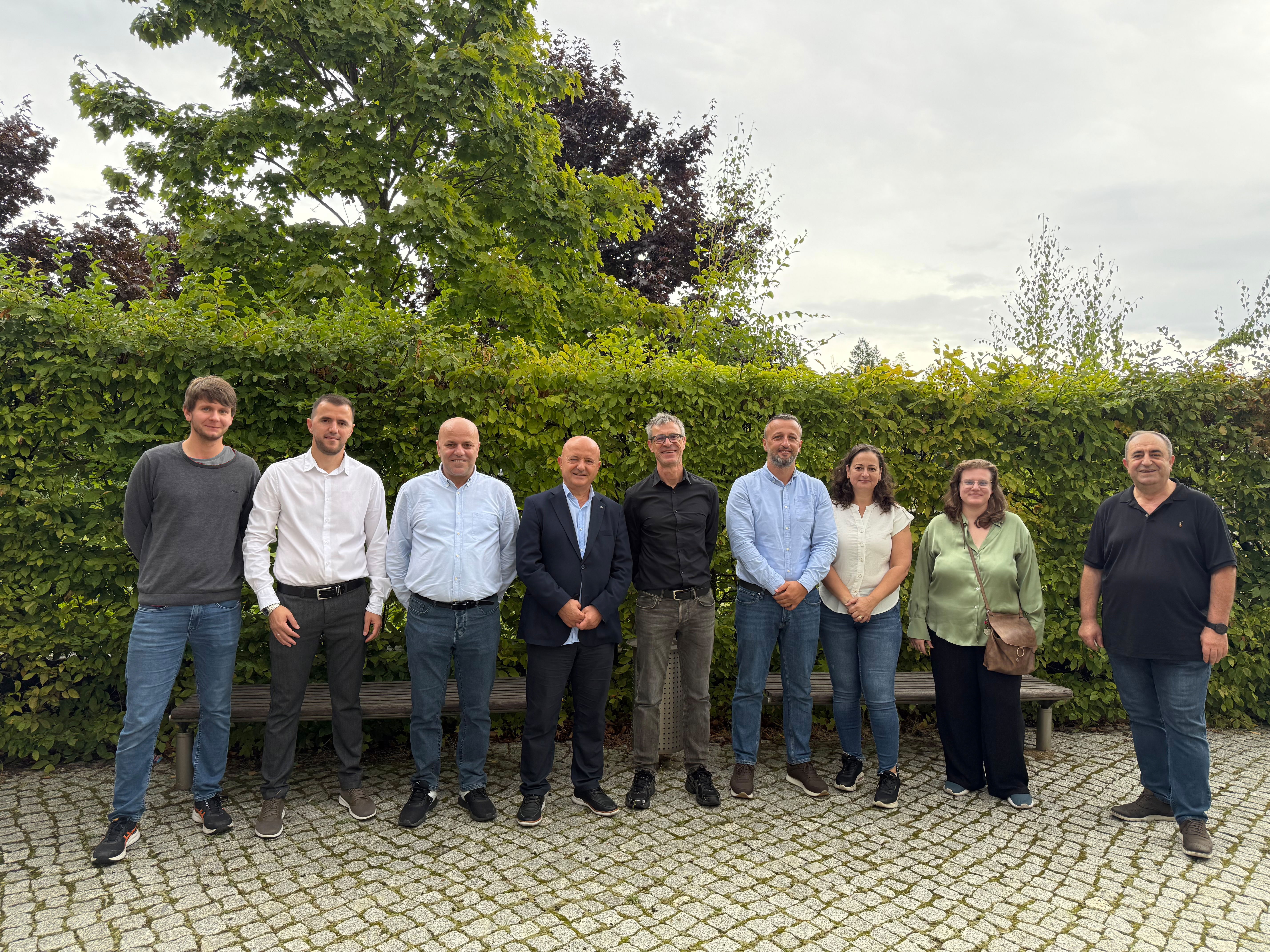
On 05 September 2025 in the frame of our project GEO-WB6 "Establishing a Geoinformation Centre for the Western Balkans", a workshop was held at IAMO in Halle, Germany, bringing together researchers from IAMO and the Agricultural University of Tirana to discuss the current state of research at both institutions and ongoing project work. Three Albanian guest researchers, currently hosted at IAMO, presented overviews of their research topics, including extreme weather events, land-cover mapping, and biodiversity monitoring through citizen science. The session provided an opportunity for collaborative brainstorming about common research interests and project proposals, focusing particularly on consolidating the GEO-WB6 Geoinformation Centre and identifying potential funding sources for follow-up activities. The workshop concluded with agreed-upon action points to guide the continued development of this regional geoinformation initiative.
Presentation of the Geoinformation Center for the Western Balkans at the AGIT Conference in Salzburg
We are pleased to announce that we presented the Geoinformation Center for Western Balkan at the AGIT conference in Salzburg, held from July 2nd to 3rd, 2025, at the Faculty of Natural and Life Sciences. Our presentation took place during Session 9B: Education Geomedia in Post-Secondary and Higher Education and received positive feedback from attendees. We are progressing on our journey to become a key hub for teaching, research, networking, and data provision in geoinformation technology, with a focus on agriculture, natural resources and rural development in the Western Balkan region!
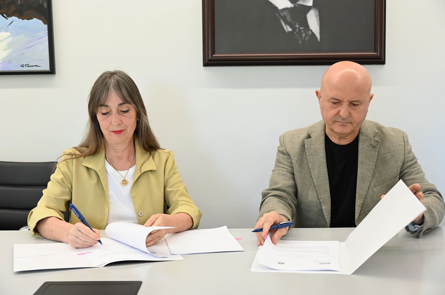
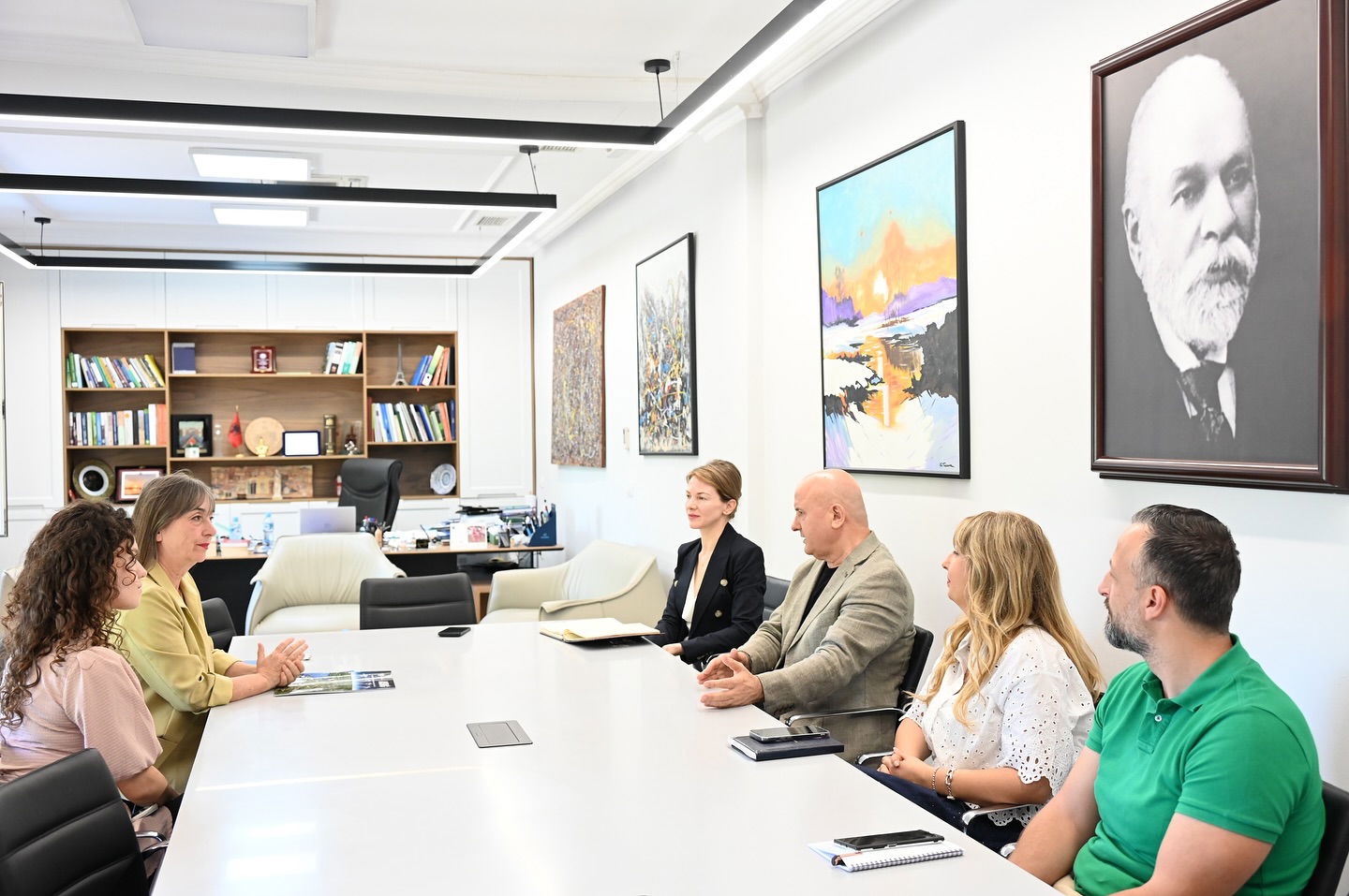
A Cooperation Agreement was signed between the Agricultural University of Tirana and Albania's State Authority for Geospatial Information (ASIG). The partnership focuses on joint projects, practical training, and capacity-building by leveraging shared expertise and geospatial data. The partnership aims to improve data exchange, research quality, and specialist training, while promoting geoinformation technologies—particularly through the Geoinformation Center for the Western Balkans.